


Update at 10:50 p.m. — Fewer than 1,000 Dominion customers are now in the dark in Arlington. A possible water main break has also been reported in Fairlington.
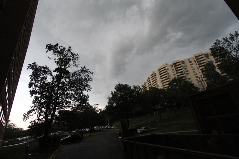
Nearly 3,000 Dominion customers were without power in Arlington Tuesday night after a line of severe storms packing gusty winds blew through the area.
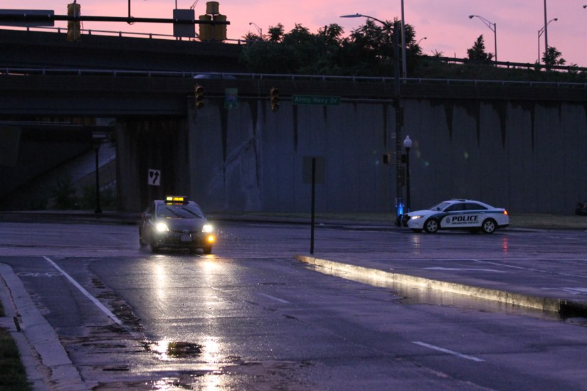
Most of the power outages were concentrated in south Arlington, in the Pentagon City area. Storms appear to have caused only minor damage in most parts of Arlington, but a reported transformer fire on the 1600 block of Arlington Ridge Road has caused numerous power outages along the east end of Columbia Pike and in Pentagon City, Aurora Highlands and Arlington Ridge, according to Twitter reports.
Police closed Arlington Ridge Road near the blown transformer, while Dominion crews worked to fix it.
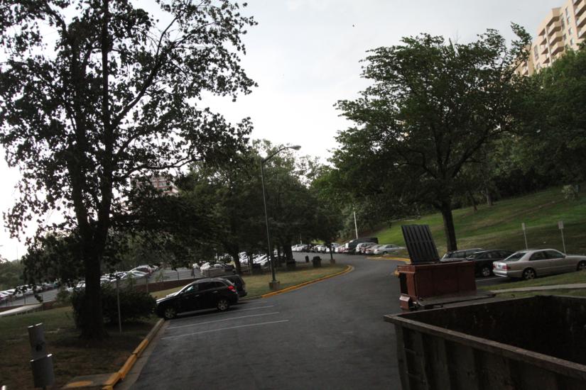
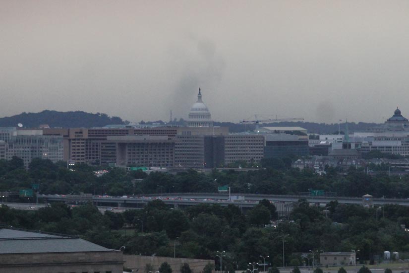
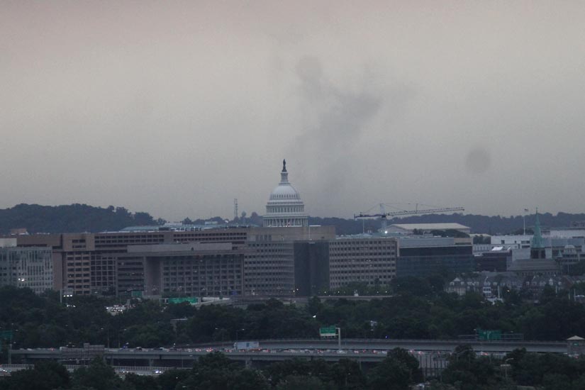
Despite the outages, the storms did have some upside: temperatures have cooled down significantly and residents were treated to a spectacular double rainbow at sunset as the storms passed.
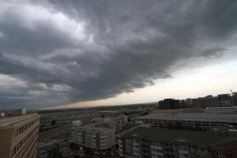
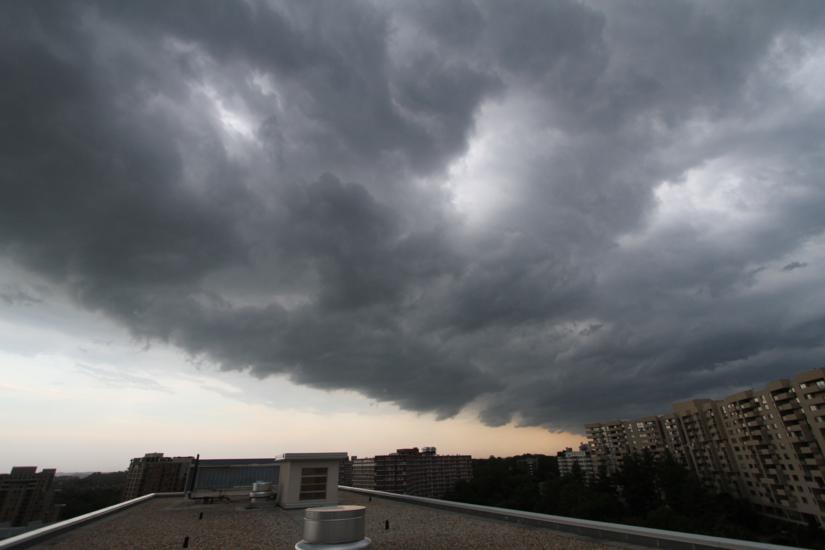
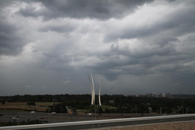
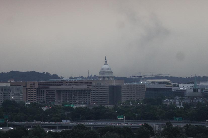
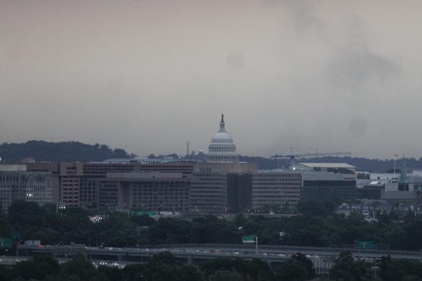
Arlington County and much of the D.C. area was under a Severe Thunderstorm Warning earlier. Forecasters said a line of storms approaching the area was packing “destructive” winds, large hail and frequent lightning.
From the National Weather Service:
A SEVERE THUNDERSTORM WARNING REMAINS IN EFFECT UNTIL 830 PM EDT FOR THE CITY OF ALEXANDRIA… THE CITY OF FAIRFAX… THE CITY OF FALLS CHURCH… THE CITY OF MANASSAS… THE CITY OF MANASSAS PARK… PRINCE WILLIAM… FAIRFAX… CALVERT… ANNE ARUNDEL… PRINCE GEORGES… ARLINGTON… HOWARD AND MONTGOMERY COUNTIES AND THE DISTRICT OF COLUMBIA…
AT 715 PM EDT… SEVERE THUNDERSTORMS WERE DETECTED ALONG A LINE EXTENDING FROM LAUREL TO KENILWORTH TO FRANCONIA… AND WERE MOVING EAST AT 40 MPH.
THESE STORMS ARE CAPABLE OF PRODUCING DAMAGING WINDS IN EXCESS OF 60 MPH.
LOCATIONS IMPACTED INCLUDE… RIDGEWAY… SEVERN… SUITLAND… DISTRICT HEIGHTS… SOUTH GATE… PRINCE GEORGES STADIUM… GAMBRILLS… MORNINGSIDE… SEVERNA PARK… HERALD HARBOR… CROWNSVILLE… CLINTON… CAPE ARTHUR… RIVERDALE… CHELSEA BEACH… PASADENA… SILLERY BAY… LAKE SHORE… BODKIN POINT… NAVY-MARINE CORPS MEMORIAL STADIUM…
THIS IS A DANGEROUS LINE OF STORMS. IF YOU ARE IN ITS PATH… MOVE INDOORS TO A STURDY BUILDING AND STAY AWAY FROM WINDOWS. WHEN IT IS SAFE TO DO SO… REPORT SEVERE WEATHER TO LOCAL LAW ENFORCEMENT OR TO THE NATIONAL WEATHER SERVICE.
THIS LINE OF STORMS HAS A HISTORY OF PRODUCING WIDESPREAD WIND DAMAGE. SEEK SHELTER INSIDE A STURDY STRUCTURE AND STAY AWAY FROM WINDOWS.