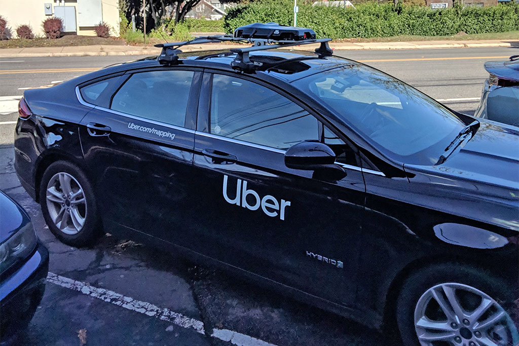
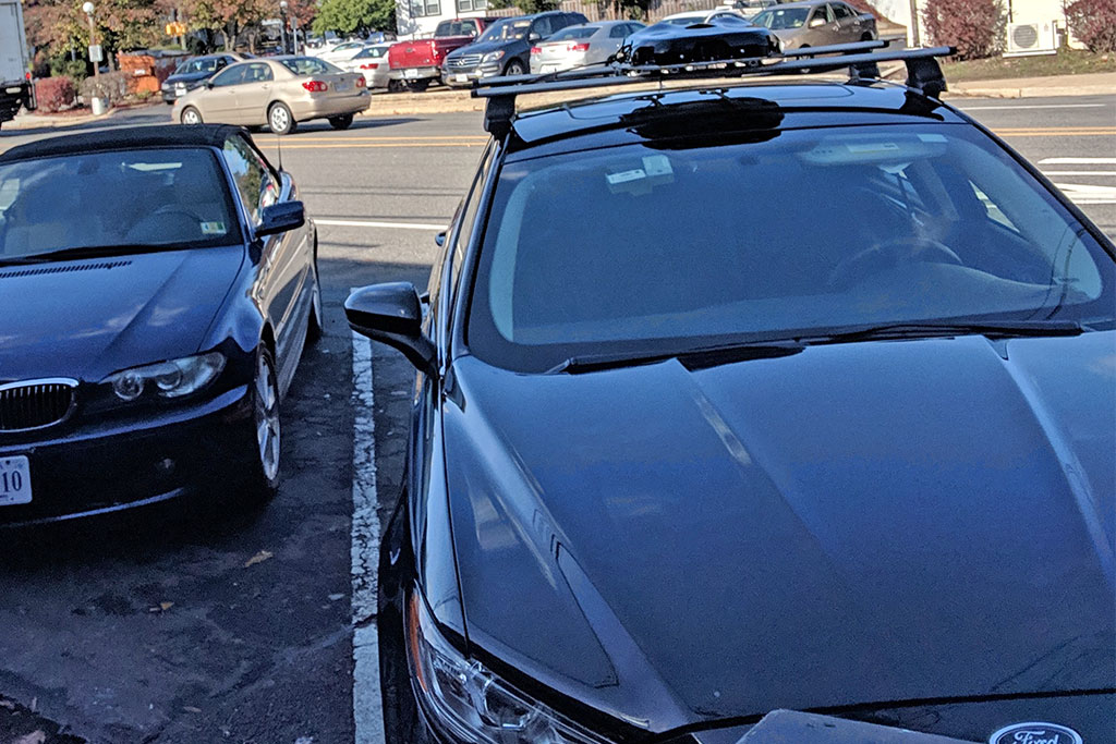
Uber is mapping streets around Arlington.
A reader spotted an Uber mapping vehicle parked outside of Arrowine at the Lee Heights Shops on Lee Highway around lunchtime today. The driver was nowhere to be seen but might have been getting lunch at a nearby restaurant.
Uber says its mapping operation helps the company produce accurate estimated times of arrival and helps select optimal pick-up spots. More from Uber’s website:
Behind every successful Uber ride is a technology many of us take for granted: maps. Mobile maps and GPS allow us to match you with the closest available driver, navigate the fastest path to your destination, and give you an accurate ETA. Accurate maps are at the heart of our service and the backbone of our business. The ongoing need for maps tailored to the Uber experience is why we’re doubling down on our investment in mapping. You can read more about these efforts on our blog.†
The street imagery captured by our mapping cameras will help us improve core elements of the Uber experience, like ideal pick-up and drop-off points and the best routes for riders and drivers. We are not collecting this imagery to post it online or otherwise make it available to the public.
To the extent that any personally identifiable information is collected by our mapping cars or cameras, such information will be treated under our Mapping Privacy Statement.
Uber says it is actively mapping areas in Virginia and 13 other states, along with the District of Columbia.


