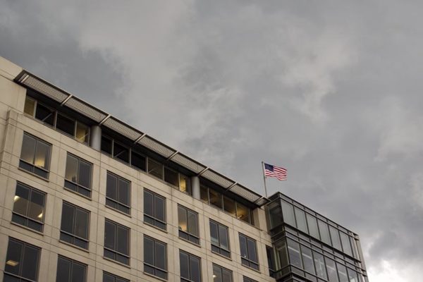
The National Weather Service has issued a Severe Thunderstorm Warning for Arlington.
The warning is effective through 5:45 p.m.


The National Weather Service has issued a Severe Thunderstorm Warning for Arlington.
The warning is effective through 5:45 p.m.

Update at 11:15 p.m. — Numerous tree branches and power lines were reported to be down around Arlington following the storm. Currently, 366 Dominion customers are without power in the county.
Update at 9:05 p.m. — A Severe Thunderstorm Warning has been issued for Arlington.
Arlington County and much of the D.C. area is under a Severe Thunderstorm Watch through 11 p.m.
Storms are currently forming to the west and are expected to make their way through the metro area later today, though the storms may be scattered.

The advisory is in effect from 1-7 p.m. today. Forecasters warn that dangerous heat index values of up to 105 are possible as temperatures climb into the mid-90s.
It’s expected to be even hotter and more humid on Tuesday, before things begin to cool off a bit mid-week.

The National Weather Service says both today and tomorrow will feature a combination of high temperatures and high humidity that will push heat index values well into the 100s.
The Arlington Street People’s Assistance Network, meanwhile, says it has extended its hours and opened overflow space at the Homeless Services Center this weekend.
(Updated at 3 p.m.) Arlington County is under Severe Thunderstorm and Flash Flood watches.
The Severe Thunderstorm watch is set to expire at midnight. The Flash Flood Watch is expected to run until tomorrow morning.
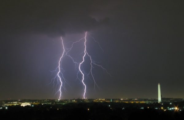
Earlier: Arlington County is currently under a Severe Thunderstorm Warning.
The National Weather Service says a severe storm with very strong winds and hail may impact Arlington in the midst of the evening rush hour.

High temperatures and high humidity will make for a sweaty and potentially dangerous afternoon.
Those who must spend time outdoors today are advised to drink plenty of water, seek breaks in the shade and avoid strenuous activity if possible.

Officials say the “dangerous heat” could cause health problems for those who overexert themselves or don’t remain properly hydrated while outside.
From OEM:
Arlington County is currently under a Severe Thunderstorm Warning.
From the National Weather Service:
Update at 4:15 p.m. — The storm is arriving.
Hearing reports of downed power lines and a blown transformer as winds pick up ahead of storm. Some power outages reported.

Parts of Arlington, D.C. and other local jurisdictions are now under a Severe Thunderstorm Warning.
The National Weather Service is warning of strong storms packing damaging wind gusts.