
Update on 1/23/26: The watch has been upgraded to a Winter Storm Warning.
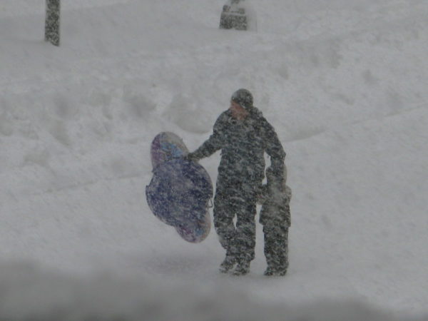
It’s official: a Winter Storm Watch has been issued for Arlington.
The watch, issued early Thursday, says the D.C. area is likely to get 5+ inches of snow starting Saturday night, with double digit accumulation also possible. The snow is expected to mix with sleet and freezing rain later in the day on Sunday.
Arlington County has already started pre-treating roads in advance of the weekend snowfall.
More, below, from the National Weather Service.
Winter Storm Watch issued January 22 at 2:16AM EST by NWS Baltimore MD/Washington DC
WINTER STORM WATCH IN EFFECT FROM 7 P.M. SATURDAY TO 7 A.M. EST MONDAY.
…MAJOR WINTER STORM POSSIBLE THIS WEEKEND…
.A large area of precipitation will overrun Arctic air in place over the Mid-Atlantic. This will likely lead to widespread significant snow beginning late Saturday, with the potential for ice Sunday especially south of Highway 50 and near and east of Interstate 95. In addition to the high threat for significant snow and ice, very cold temperatures are expected Friday night through the middle of next week with sub-zero wind chills likely at times.
* WHAT…Heavy snow mixed with sleet and freezing rain possible. There is a high likelihood of at least 5 inches of snow, with over 10 inches possible. Ice accumulation is also possible.
* WHERE…DC, and portions of central, northeast, northern, and southern Maryland, and central and northern Virginia.
* WHEN…From Saturday evening through Monday morning.
* IMPACTS…Travel could be very difficult. The hazardous conditions could impact the Monday morning commute.
* ADDITIONAL DETAILS…Snow will likely overspread the area Saturday evening, becoming heavy at times late Saturday night with rates of one to two inches per hour possible at times. A mix with sleet or freezing rain is possible Sunday. Significant icing is possible especially south of Highway 50. Visibility of one-quarter mile or less is possible at times. A prolonged period wind chills in the teens and single digits is likely beginning Friday evening and lasting through the middle of next week, with sub-zero wind chills possible at times.
Monitor the latest forecasts for updates on this situation. Now is the time to make preparations for the storm. This includes getting any necessary groceries or medicines that you may not be able to access this weekend into early next week due to any potential closure. Have an emergency kit in the car including extra batteries, a flashlight, and blanket just in case you get stranded. Make sure to refuel or charge your car before the storm hits. Check on elderly friends, family, and neighbors and don’t forget about pets or livestock during this prolonged cold period.
Winter Storm Watches have been issued for the entire area late Saturday afternoon-Sunday. Plowable snow & significant icing (especially south of I-66/US-50) can be expected. More: https://t.co/ZOlvESgJ2H. The time is now to prepare to minimize impacts for you & your family. pic.twitter.com/20G10OsXNF
— NWS Baltimore-Washington (@NWS_BaltWash) January 22, 2026
