If it feels like the weather forecast has been letting you down lately, a growing number of meteorologists say you may not be imagining it.
They point to a quieter problem playing out well above our heads: the National Weather Service has been launching fewer weather balloons, and the resulting gaps in data may be making forecasts less reliable — especially for severe weather.
Weather balloons carry instruments called radiosondes that measure temperature, humidity, pressure and wind as they rise through the atmosphere. That information is among the most valuable data forecasters have. A recent NASA analysis found balloon readings did more to reduce errors in 24-hour forecasts than any single satellite instrument or aircraft data across the Northern Hemisphere.
The Weather Service began scaling back launches in March 2025, citing staffing shortages, and more than 25 sites are now routinely pushing their morning launches to midday, according to Capital Weather. The agency has lost roughly 600 employees to layoffs and buyouts over the past year, CBS News reported.
Forecasters say the missing morning data is most worrisome on days when severe storms are possible.
Meteorologists and an emergency manager told Politico that absent balloon data likely contributed to a poorly predicted tornado outbreak near Kansas City in April. Many Great Plains offices delayed morning launches to noon that day, NBC News reported, too late for the models that run shortly after 7 a.m. — and a tornado watch went up only about 30 minutes before the first twister.
Arlington-based meteorologist Matthew Cappucci, who recently broke down the issue on Fox 5, didn’t mince words on X:
Have weather forecasts seemed less accurate lately? There's a major contributing factor: nearly half the morning weather balloons in the Lower 48 are "missing."
This is an ongoing crisis that is degrading critical severe weather forecasts that we all rely on. It's having real,… pic.twitter.com/xMajo4MzUs
— Matthew Cappucci (@MatthewCappucci) June 27, 2026
How much any of this affects forecasts here is up for debate. Because weather generally moves west to east, some meteorologists argue a missed launch out West can ripple downstream and dent forecasts on the East Coast. Others counter that balloons are a small slice of the data feeding modern models, and that the biggest effects are likely felt closer to the Plains.
The Weather Service, for its part, disputes that forecasts have suffered. A spokesperson told Capital Weather the agency has seen “no evidence of degradation” in its models, pointing to satellites, aircraft and other sensors that help fill the gaps.
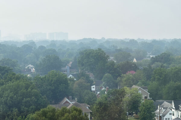
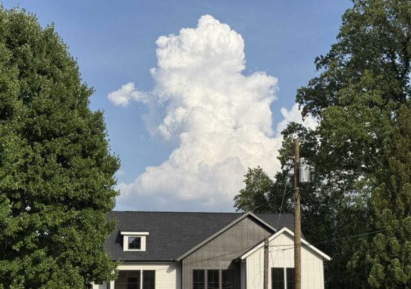
Arlington readers have had reason to keep an eye on the forecast lately, from a snowy winter to tornado watches this spring and the threat of severe storms earlier this week. Whether local forecasts have actually slipped is hard to prove — but some seem to have a gut feeling one way or the other.
So today we’re asking: have you noticed weather forecasts getting less accurate recently?