Accumulating snowfall may disrupt the Wednesday morning commute, forecasters say.
More from a National Weather Service special weather statement:


Accumulating snowfall may disrupt the Wednesday morning commute, forecasters say.
More from a National Weather Service special weather statement:
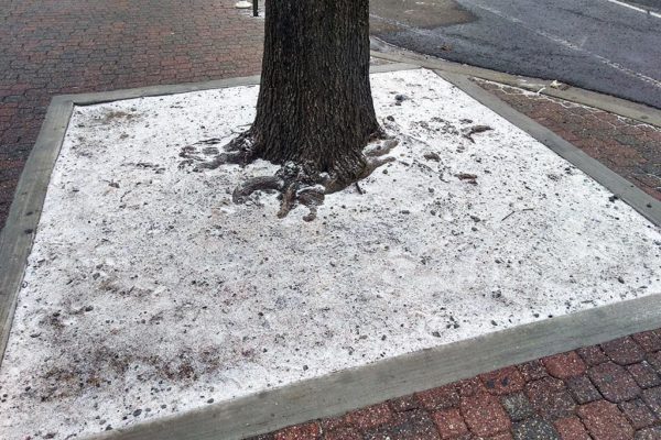
Light snowflakes fell on Arlington County in the early afternoon, with some sticking to grassy areas.
The snow began around lunchtime, and at 1:30 p.m. the National Weather Service tweeted that the main concern is a “thin slippery layer on untreated roads.” Anyone driving home this afternoon and evening should be careful of any slick conditions.

Forecasters are warning of the potential for wintry weather and a hazardous Friday evening commute.
The snow threat prompted the National Weather Service to issue the following Special Weather Statement around 11 p.m. Thursday.
A Winter Weather Advisory is in effect, as of midnight, for Arlington and much of the rest of the D.C. area.
The National Weather Service says 4-6 inches of snow is possible throughout the day today (Saturday) inside the Beltway, but other forecasters say we could see as little as an inch.

The Capital Weather Gang reports that as Friday night wears on, the chances of light snow, or a mix of snow and rain, will increase. A mix of snow and rain is likely to fall during Saturday, with as much as an inch or two expected to accumulate depending on the severity of the storm.
County government has been planning all year for any winter weather, including budgeting $1.4 million for snow removal, stockpiling 9,200 tons of salt and spending 1,950 hours training snow crews. The team is made up of 92 drivers and 46 trucks.

The National Weather Service has issued a Wind Advisory for Arlington and much of the rest of the D.C. area.
Strong, gusty winds this morning and afternoon may knock down tree branches and power lines, forecasters say.

An Arctic blast of cold air arriving tonight (Thursday) will bring temperatures in the 20s on Friday night and Saturday morning.
The National Weather Service said sensitive plants may be damaged or killed, and NWS recommends protecting from the cold.

The advisory, which is in effect until 6 a.m., cautions that an approaching line of gusty showers may produce damaging winds.
From the National Weather Service:
Arlington and other parts of the D.C. area are under a Frost Advisory tonight.
Temperatures are expected to dip into the mid-30s early Wednesday morning, potentially damaging sensitive plants.

Forecasters say Arlington could break its rainless streak next week, depending on what happens with Tropical Depression 16, which is expected to turn into Tropical Storm Nate.
The storm has the potential to intensify rapidly and could strike the Gulf Coast as a strong tropical storm or Category 1 hurricane this weekend. The storm is expected to make its way north just as a cold front is pushing into the East Coast.

Our very warm and humid Sept weather is coming to an end. pic.twitter.com/tn1tjGAMhu
— NWS Baltimore-Washington (@NWS_BaltWash) September 26, 2017

Update at 2:30 p.m. — Arlington is now also under a Severe Thunderstorm Watch.
A severe thunderstorm watch has been issued for parts of CT, DE, DC, MD, MA, NJ, NY, PA, VA, WV until 9 PM EDT pic.twitter.com/5IkasOqzn9