A Wind Advisory has been issued for Arlington and much of the D.C. area.
The advisory will be in effect tomorrow (Friday) afternoon and evening. According to the National Weather Service, wind gusts of up to 55 mph are expected.


A Wind Advisory has been issued for Arlington and much of the D.C. area.
The advisory will be in effect tomorrow (Friday) afternoon and evening. According to the National Weather Service, wind gusts of up to 55 mph are expected.
Arlington and the rest of the immediate D.C. and Baltimore metros are now under a Winter Weather Advisory.
There is now less uncertainty about whether there will be accumulating snowfall. Flakes are set to start flying late Saturday or early Sunday, with 1-3 inches expected to fall by the time the precipitation wraps up Sunday morning.

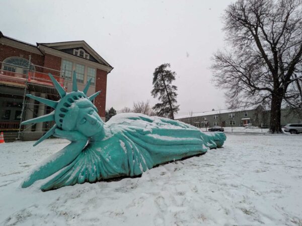
The snow may be mostly over but we’re not done with wintry hazards.
A light freezing rain is expected tonight between 7 p.m.-1 a.m., potentially leading to a “a light glaze of ice” and “very slippery sidewalks, roads and bridges,” according to the National Weather Service.

Discontent over changes to the Bicycle Advisory Committee has continued, with some members now appearing in open revolt against County Manager Mark Schwartz.
At a Nov. 3 meeting, some went so far as to suggest the BAC no longer serves a clear purpose, given its reduced role.

A Frost Advisory was just issued for Arlington.
The advisory will take effect early Friday. Forecasters say near-freezing temperatures could lead to frost that can damage sensitive plants.

Arlington County staff and an advisory panel are seeking ways to become more active in Pride Month celebrations next June.
And the clock is ticking, one leader in that effort said.

Finding a site for a new library and a home for Synetic Theater after its displacement remain two key goals for leaders in National Landing.
At a recent leadership gathering, County Board Chair Takis Karantonis brought no definitive updates on either issue. But, he said, both remained on the county government’s radar.

Members of Arlington’s reconstituted Human Rights Commission are seeking to clarify what they can do when county staff’s attempts to mediate disputes fail.
It’s a rare circumstance, to be sure. Most formal complaints to the county’s human rights office are settled, dismissed or withdrawn at the staff level, and over the past year, county officials said there was just a single case where the complaint was found justified but no settlement could be reached.

Arlington and the D.C. area is getting a dual whammy of dangerous heat and poor air quality today.
A Heat Advisory is in effect today (Wednesday) from 11 a.m.-8 p.m., with the heat index expected to rise as high as 109.

Members of the Arlington Planning Commission, who currently work without financial compensation, could eventually start getting paid.
Although posts on the commission are unpaid by longstanding tradition, given the time and effort the job requires, that might change someday.

The next Falls Church City Council will be the one to decide whether some City advisory panels need to be merged or disbanded.
“This would be a big effort. Even getting rid of one is going to have all kinds of psychological weight associated with it,” City Manager Wyatt Shields acknowledged when the proposal to consider changes to advisory boards and commissions came up at meeting last week.

The National Weather Service has issued a Heat Advisory for Arlington and the broader D.C. region on Friday.
Sweltering heat and humidity are expected to push the heat index as high as 109 degrees, according to forecasters.