
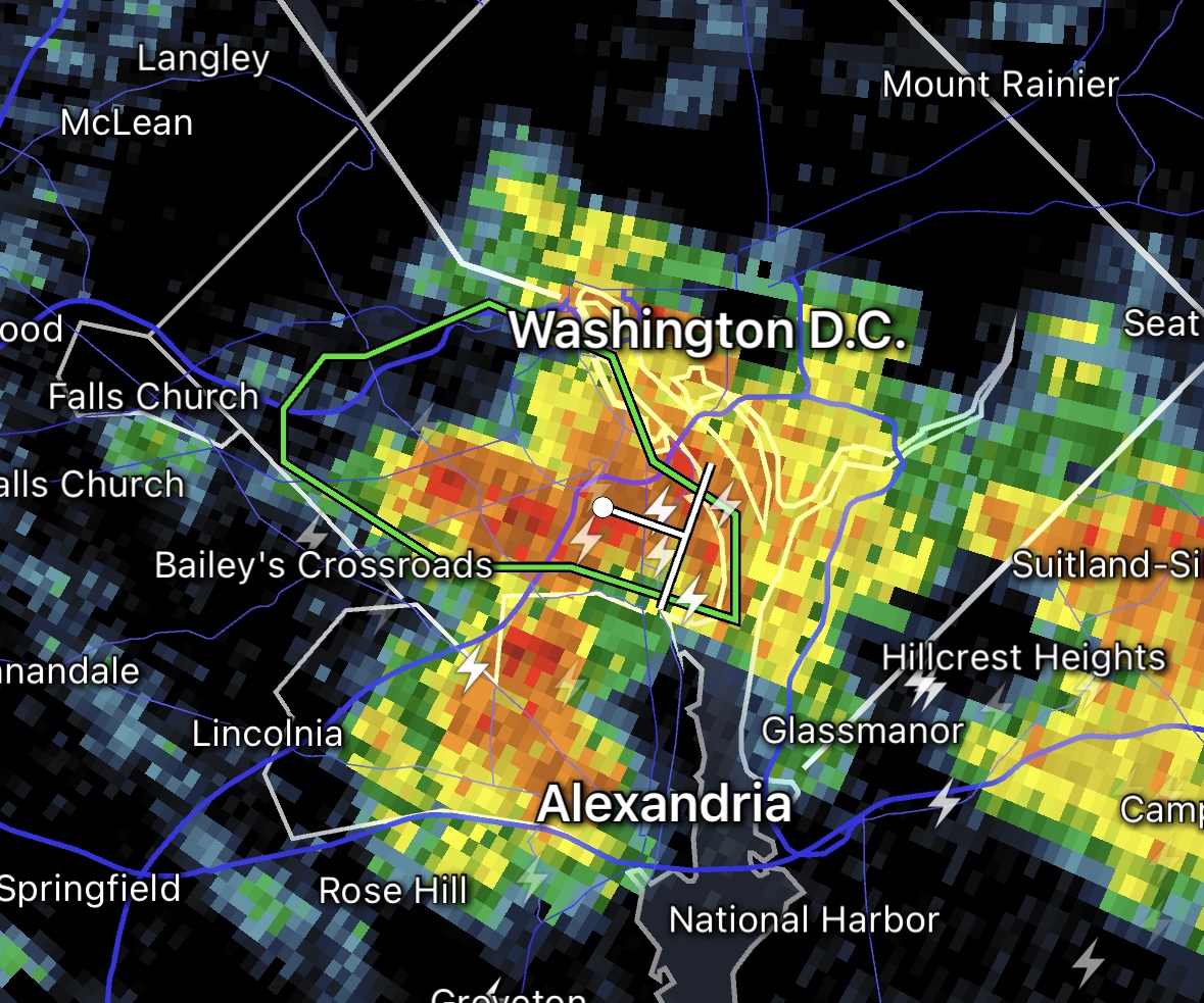
Update at 1:35 p.m. — A water rescue is underway in the Pentagon City area after high water stranded multiple people in vehicles.
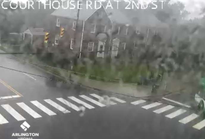
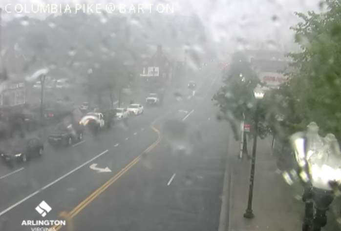
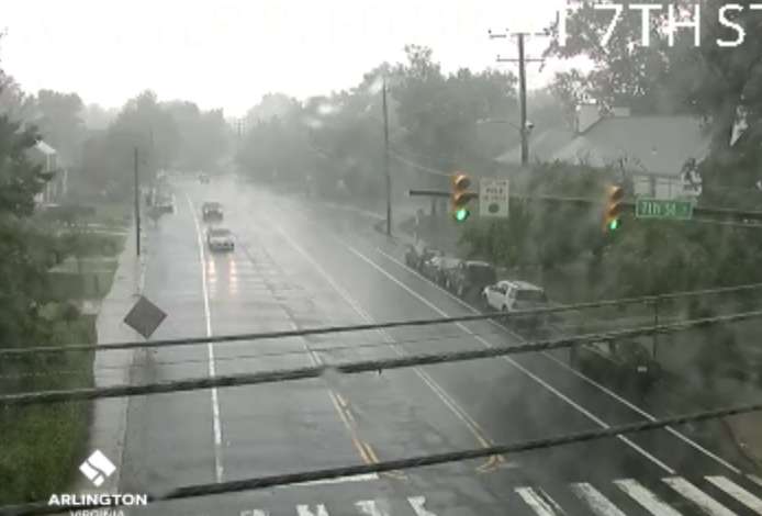
Update at 1 p.m. — A Flash Flood Warning has been issued for a large portion of Arlington. A near-stationary storm is inundating south and central parts of the county, causing flooding.
From the National Weather Service:
The National Weather Service in Sterling Virginia has issued a
* Flash Flood Warning for… Southeastern Arlington County in northern Virginia…
* Until 400 PM EDT.
* At 1254 PM EDT, Doppler radar indicated thunderstorms producing heavy rain across the warned area. Between 1 and 2.5 inches of rain have fallen. Additional rainfall amounts of 1 to 2 inches are possible in the warned area. Flash flooding is ongoing or expected to begin shortly.
HAZARD…Flash flooding caused by thunderstorms.
SOURCE…Radar.
IMPACT…Flash flooding of small creeks and streams, urban areas, highways, streets and underpasses as well as other poor drainage and low-lying areas.* Some locations that will experience flash flooding include…
Arlington… Crystal City… Reagan National Airport… Ballston… Barcroft…
Flash Flood Warning including Arlington VA and Reagan National Airport VA until 4:00 PM EDT pic.twitter.com/lDgSTtaNFI
— NWS Baltimore-Washington (@NWS_BaltWash) July 7, 2023
Watch: We are under a flood warning in #Arlington. This is what one of the usual poor draining spots on I-395N across from the Pentagon looks like right now. @ARLnowDOTcom @SafetyVid @VaDOTNOVA @CordellTraffic @WTOPtraffic #safety #vatraffic #traffic #395cam pic.twitter.com/hrFWMtBtok
— Dave Statter (@STATter911) July 7, 2023
Earlier: Arlington and much of the D.C. area is now under a Flood Watch.
Slow-moving storms might dump lots of rain in short order this afternoon and evening, causing flooding, forecasters say.
More from the National Weather Service:
…FLOOD WATCH IN EFFECT UNTIL 8 PM EDT THIS EVENING…
* WHAT…Flash flooding caused by excessive rainfall is possible. […]
* WHEN…Until 8 PM EDT this evening.
* IMPACTS…Excessive runoff may result in flooding of rivers, creeks, streams, and other low-lying and flood-prone locations.
* ADDITIONAL DETAILS…
– A couple rounds of slow-moving showers and thunderstorms are likely this afternoon into this evening. A few inches of rain is possible in a short amount of time as a result, and may cause rapid rises of water on creeks, streams, urban and poor drainage areas, and in other flood-prone locations.
– Please visit weather.gov/safety/flood for flood safety and preparedness information.
Expect high temps in the upper 80s & low 90s with heat indices making it feel like 95-100 degrees. Scattered to numerous showers & t-storms are likely this afternoon, some of which could be locally gusty with isolated instances of flooding between 1-7pm. #MDwx #VAwx #Wvwx #DCwx pic.twitter.com/9ZJNne1apj
— NWS Baltimore-Washington (@NWS_BaltWash) July 7, 2023
