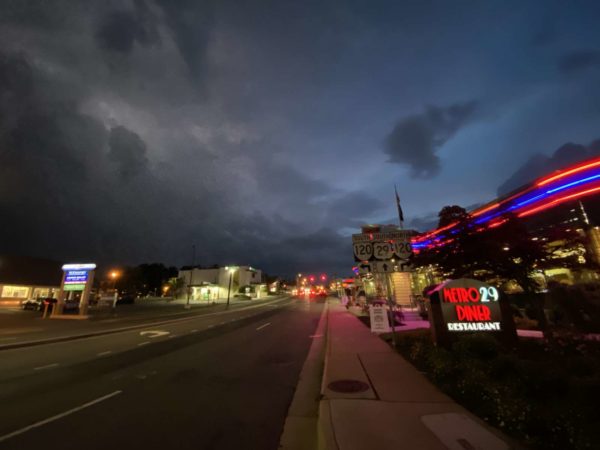
Update at 1:50 p.m. — In addition to the Flash Flood Watch, a Severe Thunderstorm Watch was just issued for the area. Damaging winds, hail and torrential downpours are possible, forecasters say.

Severe Thunderstorm Watch in effect until 11 PM. Main risk is damaging winds. pic.twitter.com/gVYqxvoZed


Some strong storms are possible this afternoon and evening, forecasters say.

The scattered storms could pack damaging winds, potentially downing tree limbs and power lines. A Severe Thunderstorm Watch is possible, the National Weather Service says. Arlington is near the western border of the likely watch area.


(Updated at 9:30 p.m.) The National Weather Service has confirmed that a tornado caused the widespread damage seen in several North Arlington neighborhoods today.

The tornado struck around 9 p.m. Thursday night, touching down near the intersection of Lee Highway and N. Glebe Road. It was rated as an EF1 — the second-lowest on the Enhanced Fujita scale — and cut a 125 yard-wide path of damage as it made its way east through several neighborhoods, before moving into D.C. Maximum winds were estimated at 90 mph.


Update at 4:15 p.m. — The earlier severe thunderstorm watch and warning have both been cancelled.

Update at 3:40 p.m. — Just over 1,400 Dominion customers in Arlington are without power, according to preliminary numbers from the power company’s website.


Update at 8:25 p.m. — Now the remainder of Arlington is under another Severe Thunderstorm Warning.

Pretty much the entire immediate DC area under severe storm warning now through around 9p. Storms likely to unleash 50–70 mph winds in some areas along with frequent lightning and very heavy rain. https://t.co/9keVWTga9c


View More Stories