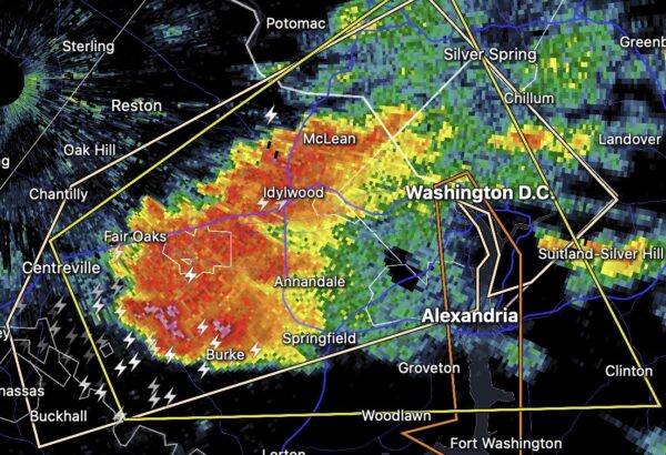
Update at 6:50 p.m. — Nearly 1,000 Dominion customers are without power in Arlington, according to the utility company’s website. Most of the outages are in the county’s far northern neighborhoods along the border with McLean, which is experiencing widespread outages after the storms.
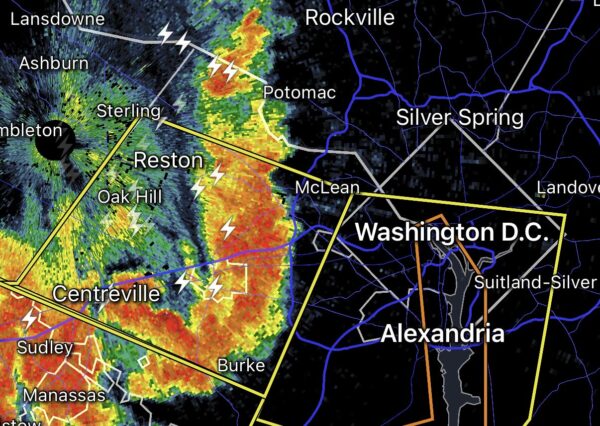
Update at 6:15 p.m. — A second line of storms is arriving and has prompted a second Severe Thunderstorm Warning, below, which is in effect until 7 p.m.