Mother Nature is not done with us yet.
A Wind Advisory has been issued for Arlington and the D.C. area. It’s in effect from 8 p.m. until midnight.


Mother Nature is not done with us yet.
A Wind Advisory has been issued for Arlington and the D.C. area. It’s in effect from 8 p.m. until midnight.

The storm threat for Arlington is not over, but it hasn’t amounted to much so far.
A brief downpour just breezed through the county, around when elementary schools were letting out early due to the severe weather risk.

The earlier Tornado Watch for Arlington and the D.C. area has been cancelled.
Despite the high-end severe storm threat fizzling, additional storms are expected Monday evening.

Arlington Public Schools will dismiss two hours early Monday, due to the risk of severe weather.
The announcement was made just after 7:30 p.m. Sunday, after similar announcements from Fairfax County and Montgomery County schools. FCPS will dismiss even earlier: three hours early.
Update at 9:20 p.m. — Arlington Public Schools will now be closed on Monday, the school system announced.
Earlier: The snow is starting to accumulate in Arlington as another winter storm ramps up.

A Winter Weather Advisory has officially been issued for Arlington and much of the D.C. area, ahead of Sunday’s expected storm.
The National Weather Service is currently predicting 2-4 inches of snow accumulation. The flakes will mostly fall Sunday night and early Monday, with temperatures dipping below freezing after a cold rain for most of the day.

HOUSTON (AP) — Winter’s brutal grip on the U.S. East is not letting up, with coming days bringing subfreezing temperatures that will plunge deep into what had been a toasty Florida peninsula and a powerful blizzard forecast that may strike the Atlantic coast.
Deep cold is forecast to stick around at least into the first week of February. Meteorologists are also watching what could become a “ bomb cyclone ” — a quickly intensifying storm that’s a winter version of a hurricane — forming off the Carolinas Friday night into Saturday.
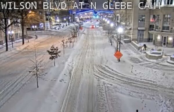
Arlington County community centers, libraries and other facilities will be closed Monday as the cleanup continues from today’s winter storm.
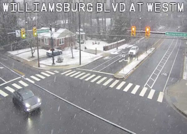
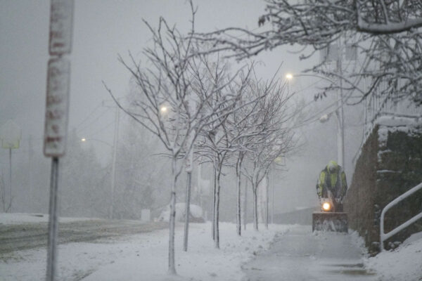
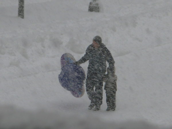
About 7-8 inches of snow and sleet fell in Arlington. Hours of sleet has resulted in an especially dense and heavy covering over local roads and sidewalks, making plowing and shoveling more difficult.
Roads in Arlington are snow- and sleet-covered as of 9 a.m., leading to driving difficulties even for the professionals.
As of 8 a.m., 5 inches of snow accumulation were measured in North Arlington by ARLnow, as an increasing amount of sleet started mixing with the flakes.
The earlier Winter Storm Watch for Arlington and the D.C. area is now a Winter Storm Warning.
The National Weather Service issued the warning just after 10 a.m., predicting that this weekend’s storm will drop 7-14 inches of snow and sleet. Freezing rain is also looking likely, with the ice potentially causing tree damage and power outages.
Update on 1/23/26: The watch has been upgraded to a Winter Storm Warning.
It’s official: a Winter Storm Watch has been issued for Arlington.

The National Weather Service has issued a Flood Watch for Arlington, Alexandria, Fairfax County, the District and surrounding areas.
The watch is now in effect and goes through 9 p.m. Heavy storms are expected this afternoon and evening, with the potential for flash flooding from excessive rainfall.