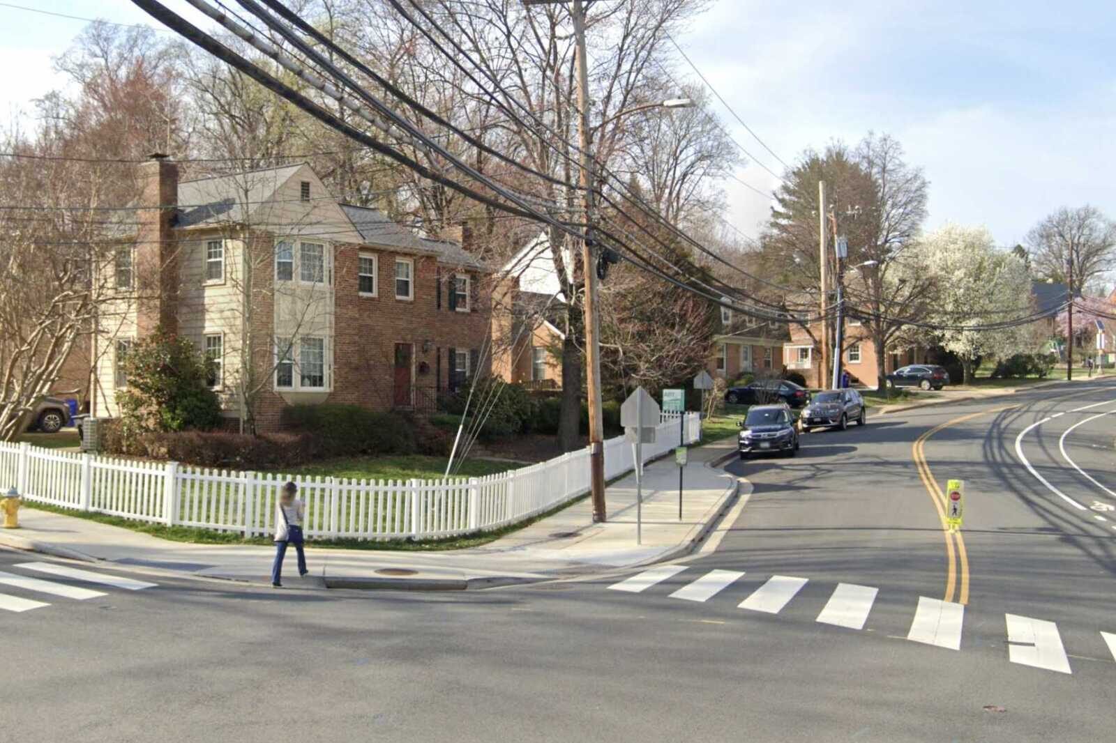
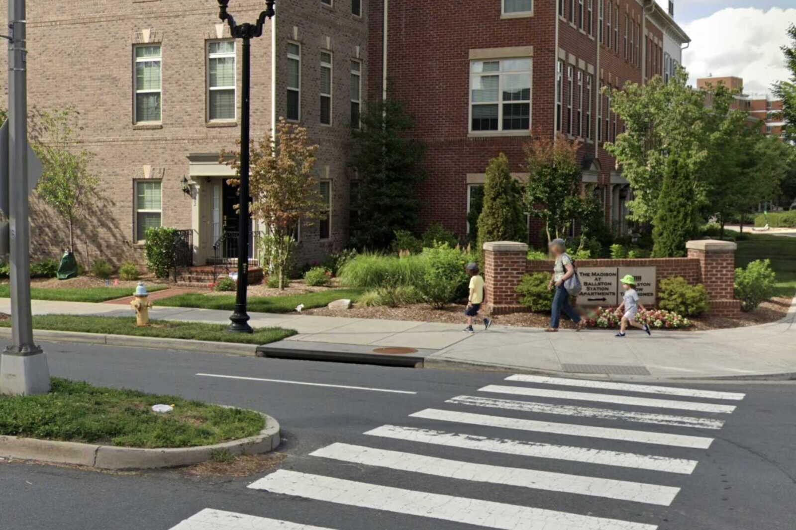
Five arterial streets north of Route 50 could see their speed limits drop from 30 to 25 mph.
This weekend, the Arlington County Board is set to authorize public hearings to lower speed limits along these roads, which have “high volumes of pedestrian crossings and higher density land development,” a county report says.
They include:
- Military Road from Nelly Custis Drive to Langston Blvd, through the Donaldson Run and Cherrydale neighborhoods
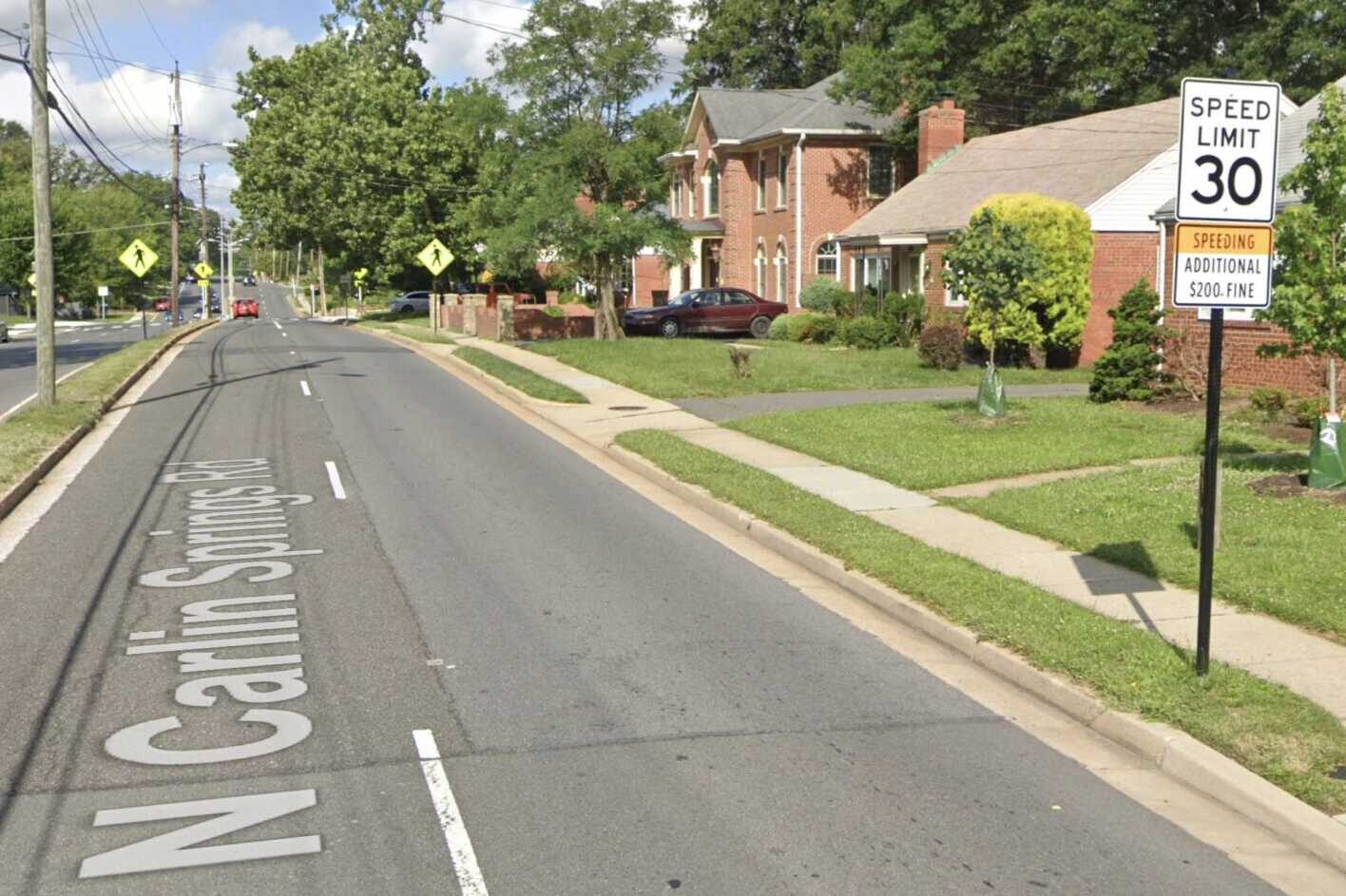
- N. Carlin Springs Road from N. Glebe Road to N. George Mason Drive, through Arlington Forest
- N. George Mason Drive from N. Carlin Springs Road to Arlington Blvd, through Buckingham
- Fairfax Drive from N. Kirkwood Road to I-66 ramps, through Virginia Square
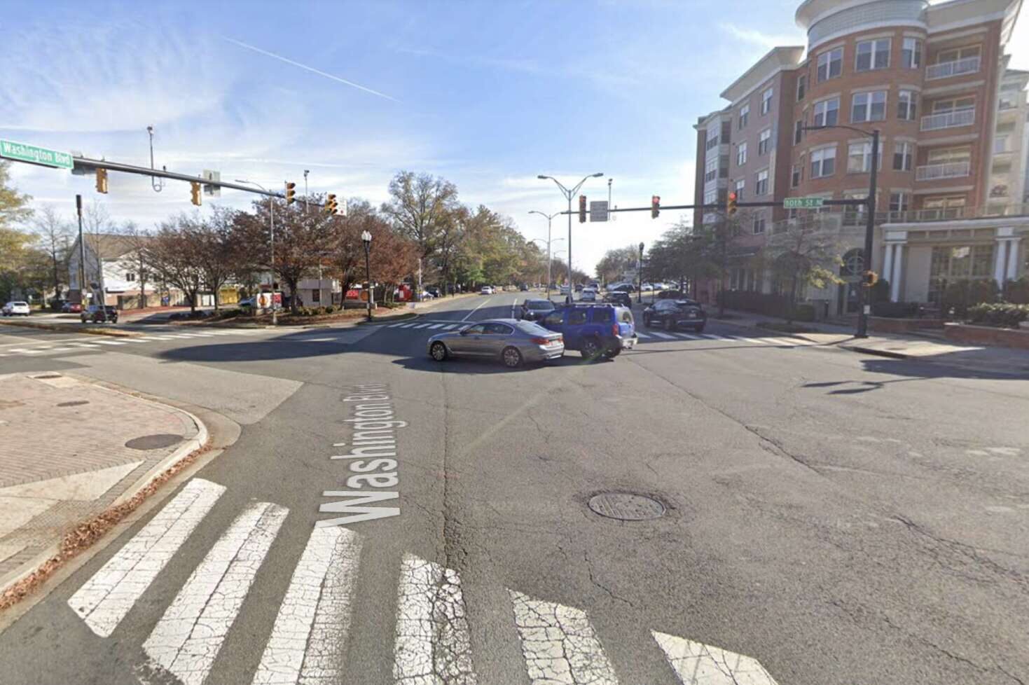
- 10th Street N. from Washington Blvd to N. Kirkwood Road, near Clarendon
Arlington’s Dept. of Environmental Services recommended 25 mph limits on these roads after looking at “speed statistics, collisions, traffic volumes, current and anticipated pedestrian and bicyclist activity, adjacent land uses and development patterns, future projects and roadway characteristics,” per the report.
Since adopting its Vision Zero policy in 2021, the County Board has taken steps to its goal of eliminating traffic deaths and serious injuries by 2030 in part by lowering speed limits around schools and along several road segments throughout the county.
“The Arlington County Vision Zero policy supports the reduction of drivers’ speed,” it continues. “The Vision Zero Action Plan notes that speeding contributes to about a quarter of both fatal and serious crashes.”
Most of the intersections teed up for lower speeds share two conditions: significant pedestrian and cyclist activity, particularly at uncontrolled crosswalks, and relatively high crash rates, according to the county.
Military Road from Nelly Custis Drive to Langston Blvd has relatively high pedestrian crossings at uncontrolled crossings in the school zone for Dorothy Hamm Middle School. The crash rate in this segment is higher than elsewhere on Military Road, with 14 crashes in six years.
On N. Carlin Springs Road from N. Glebe Road to N. George Mason Drive, there were three pedestrian-involved crashes in six years.
N. George Mason Drive from N. Carlin Springs Road to Arlington Blvd, which carries approximately 22,000 vehicles per day, passes by Barrett Elementary School, the Lubber Run Community Center and medium-density apartment buildings — resulting in a high number of pedestrian and bicycle crossings at uncontrolled crosswalks. This segment includes the crash-prone intersection with N. Park Drive set to get a traffic light later this year.
Although actual driving speeds along Fairfax Drive from N. Kirkwood Road to the I-66 ramps are below the posted 30 mph speed limit, the county still recommends lowering the limit to 25 mph. Of the 162 crashes on this road in six years, 18 involved pedestrians and six caused severe injuries.
The roadway segment of 10th Street N. from Washington Blvd to Kirkwood Road are not part of what the county calls a “High Injury Network” but saw nine pedestrian-involved crashes and three severe-injury crashes in six years. This area is set to receive transportation upgrades also intended to improve safety for road users.
The county reviewed but is not recommending speed limit reductions for the following intersections:
- Nelly Custis Drive from Lorcom Lane to Military Road
- S. Carlin Springs Road from Arlington Blvd to Columbia Pike
- Williamsburg Blvd from N. Glebe Road to 29th Street N.
- N. Roosevelt Street from 17th Street N. to the Falls Church City line
- N. Sycamore Street from Williamsburg Blvd to 17th Street N.
- N. George Mason Drive from Yorktown Blvd to Arlington Blvd
- S. George Mason Drive from Arlington Blvd to the Fairfax County line
- N. Westmoreland Street from Arlington County line to Fairfax Drive
To add new signage will cost about $700 per corridor, for a total of $3,500.


