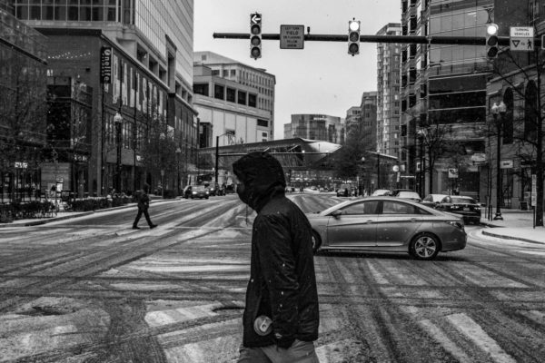
The snow may be mostly over but we’re not done with wintry hazards.
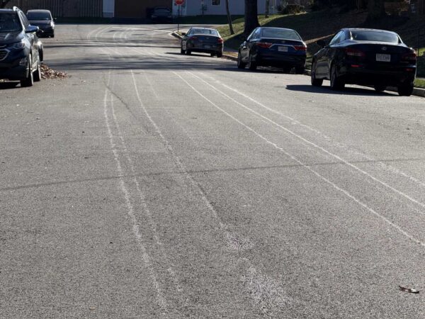
A light freezing rain is expected tonight between 7 p.m.-1 a.m., potentially leading to a “a light glaze of ice” and “very slippery sidewalks, roads and bridges,” according to the National Weather Service.