Proposed changes could help transform a major street in the Pentagon City and Crystal City area into a more pedestrian and bicycle friendly corridor, though it might make traffic a little more congested.
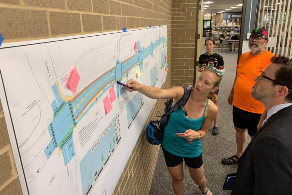
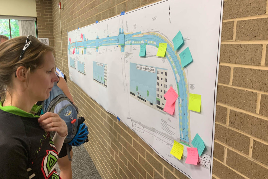
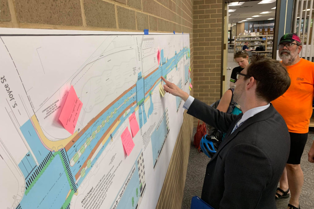
The Army Navy Drive Complete Street project would provide a physically-separated, two-way protected bicycle lane along the south side of Army Navy Drive from S. Joyce Street to 12th Street S. Changes would also make pedestrian crossings shorter and safer, with options to build dedicated transit lanes in the future.
According to the project website:
The project will rebuild Army Navy Drive within the existing right-of-way as a multimodal complete street featuring enhanced bicycle, transit, environmental and pedestrian facilities. The goal of the project is to improve the local connections between the Pentagon and the commercial, residential and retail services in Pentagon City and Crystal City.
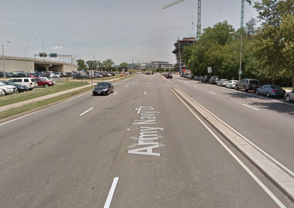
The tradeoff for keeping all of this within the right of way is reduced motor vehicle lanes, with slowing traffic through the area billed as a feature rather than a detriment. For most of the route, traffic in each direction is at least two lanes wide, though east of S. Eads Street the plans call for it to narrow from two lanes to one in each direction.
At an open house yesterday (Tuesday) at the Aurora Hills Branch Library (735 18th Street S.), most of those in attendance were local cyclists expressing enthusiasm for the project.
“This is an unspeakably huge improvement for cycling,” said Chris Slatt, chair of the Transportation Commission. “This is a critical piece for connecting bicycle infrastructure.”
Cyclists at the meeting also took the opportunity to note that the improvements planned here were still a stark contrast to plans to realign Columbia Pike near the Air Force Memorial. Cycling advocates at the open house said the Pike plans would turn the nearby intersection of S. Joyce Street and Columbia Pike, which feeds into Army Navy Drive and is already not ideal for bicycling, into a “death trap.”
Photo (3) via Google Maps, project map via Arlington County Department of Environmental Services


