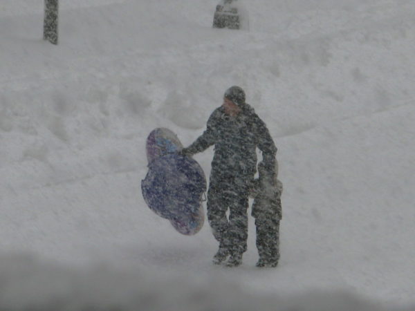
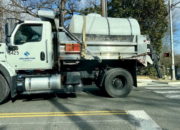
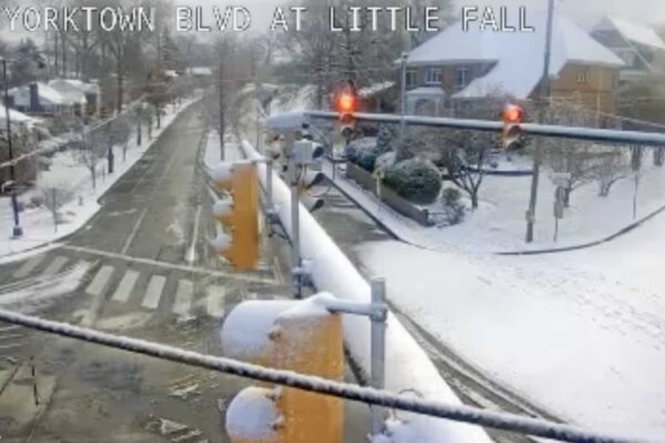
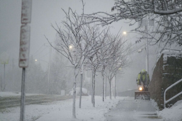
(Updated at 3 p.m.) A widespread outbreak of severe weather is expected this evening, prompting a Tornado Watch for Arlington and much of the region.

Forecasters say the threats include “damaging and locally destructive hurricane-force winds, along with the potential for large hail and tornadoes, even strong tornadoes.”


Get ready for some wild weather over the next day and a half.

First up are some storms tonight (Sunday) that are likely to be packing torrential rainfall. The heavy rain could cause flash flooding, prompting a Flood Watch to be issued this afternoon, taking effect at 8 p.m.


(Update at 4:40 p.m.) All of Arlington is now under a Severe Thunderstorm Warning.

More such warnings are likely as a line of strong storms approach from the west. Forecasters say the storms are packing very high winds, likely to cause damage and power outages.


A strong storm is approaching Arlington from the west, prompting a Severe Thunderstorm Warning.

Fueled by today’s heat and humidity, the storms are packing potentially damaging winds, torrential rain and lightning. The current warning covers most of Arlington County, except the northernmost portion, through 7:30 p.m.


(Updated at 2:10 p.m.) Get ready for three days of sweltering weather.

Ahead of high temperatures in the upper 90s — perhaps rising into the triple digits — paired with high humidity, the National Weather Service has issued a Heat Advisory for Thursday and a watch for Friday.


(Updated at 12:50 p.m.) Arlington, D.C. and other parts of the region are now under both a Severe Thunderstorm Watch and a Flood Watch

The D.C. area is on the southern end of the Severe Thunderstorm Watch area, which runs up the East Coast and includes Philadelphia, New York City, and much of Connecticut. That watch is in effect until 8 p.m.


The air quality in Arlington County has crossed into “Code Red” levels.

The county’s Air Quality Index (AQI), according to the federal government’s AirNow.gov website, was 151 as of 3 p.m., just past the 150 threshold for Code Red. That comes as a new round of Canadian wildfire smoke wafts into the area.


The possibility of a succession of storms tonight packing heavy rain has prompted a Flood Watch from the National Weather Service.

The watch is in effect until 4 a.m. for Arlington, the District and much of the Washington region. Forecasters say flash flooding may occur during prolonged downpours.


Updated at 6:35 p.m. — The Severe Thunderstorm Warning has been extended to southern portions of the county.

Severe Thunderstorm Warning including Washington DC, Reagan National Airport VA and Landover MD until 7:15 PM EDT pic.twitter.com/iQQU9OrA6d


View More Stories