Late Wednesday afternoon it was sunny and in the mid-80s. Around 1 a.m. it was still in the 70s and one could go for a comfortable walk in shorts.
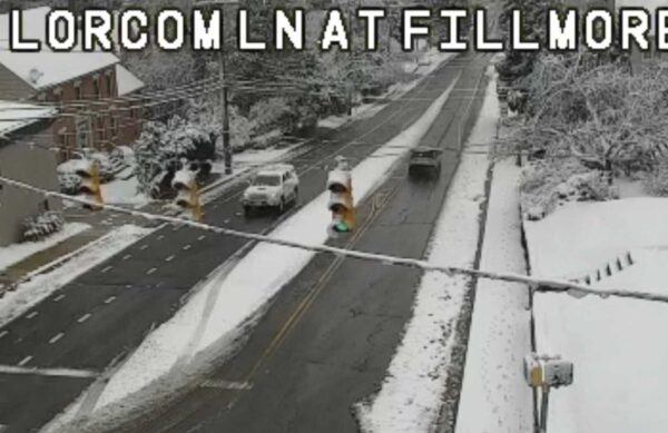
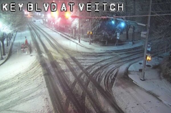
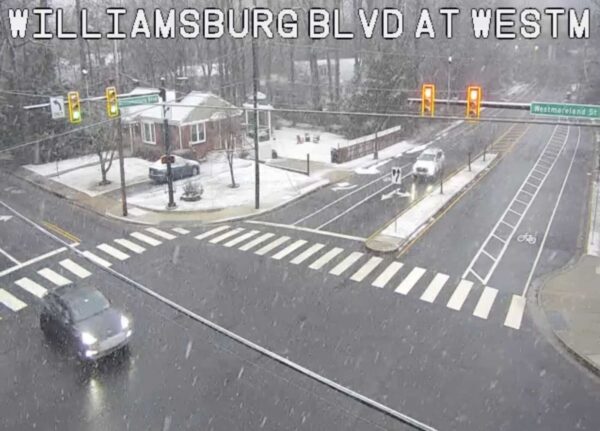
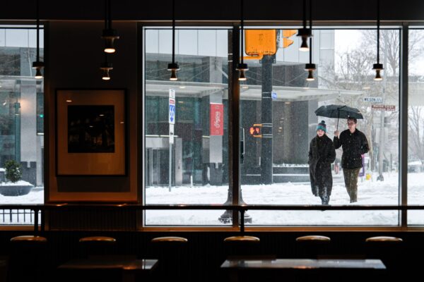
Half a day later, and we’re in the midst of an hours-long snowfall.
Granted, temperatures in Arlington are above freezing and accumulation is minimal. But the weather whiplash is real.
There’s something special about snow falling in slow motion on a fire apparatus. ❄️🚒 Winter responses just hit different! pic.twitter.com/nPGudiuuTS
— Arlington Fire & EMS (@ArlingtonVaFD) March 12, 2026
While the past 24 hours might be particularly extreme — National Airport recorded a record high of 86 yesterday, and now it’s 33 degrees in North Arlington and snowing — the temperature roller coaster isn’t done.
Monday’s expected high temperature of 70 will be followed by a predicted low of 28 on Tuesday, according to forecasts.
That brings us to our poll question: What do you think about the snow today? Given the following two poll options, which one are you choosing?